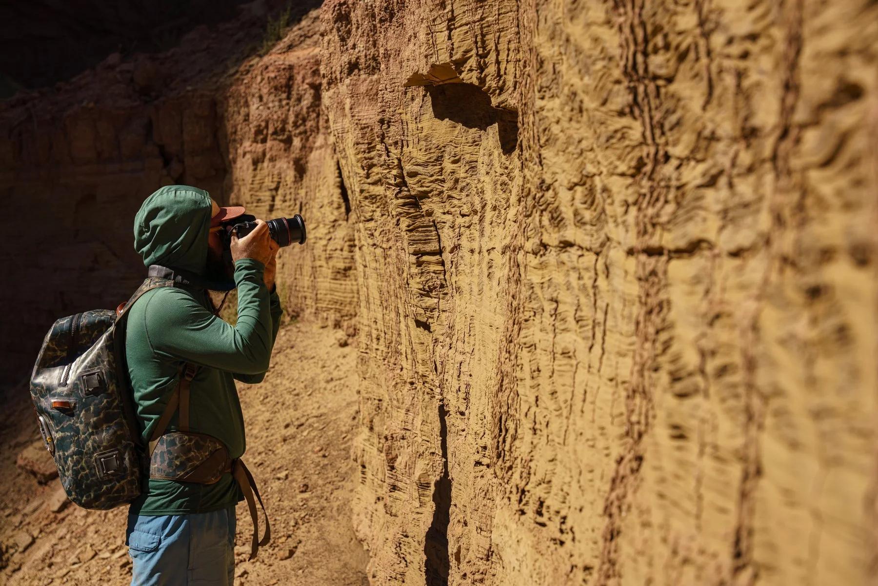
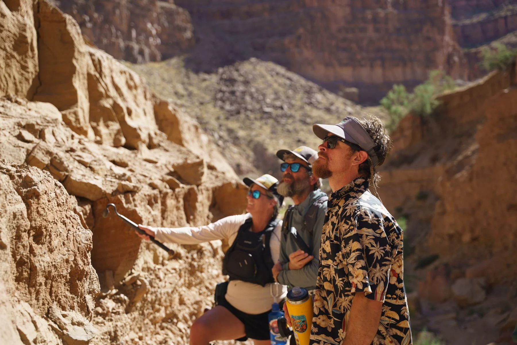
For millennia, the rivers of the Colorado Plateau have run like arteries across the American Southwest, carving canyons, sustaining ecosystems, delivering nutrients, and transporting sediment across thousands of rugged miles.
part 1: The wild river
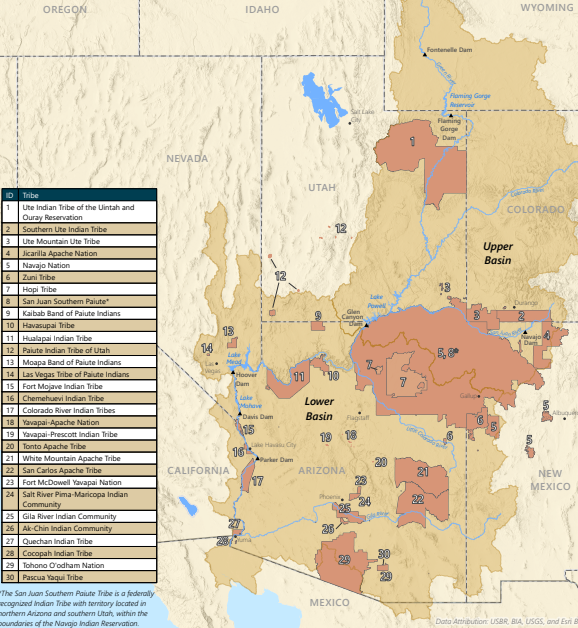
This large geographic area has a tilt, causing the water to move northeast to southwest across the Four Corners Region. The two largest conduits, transporting water and sediment toward California and Mexico, are the Green and Colorado Rivers.
Since time immemorial, the Plateau has been inhabited by thousands of people and hundreds of tribes. As European colonists continued expanding westward, efforts to document the region, categorize resources, and eradicate existing Indigenous Americans impacted the landscape dramatically.
In 1869, John Wesley Powell led the first documented expedition of the entirety of the Colorado and Green Rivers to survey and record the landscape. The scientific data gathered from that initial exploration of the region’s rivers led to many of the management decisions made down the road by the US Government.
part 2: an era of management
As populations increased, the regional demand for water increased as well. The need to manage these competitive demands led to the signing of the Colorado River Compact in 1922. This agreement regulated usage between the Upper Basin States: Wyoming, Utah, Colorado, and New Mexico, and the Lower Basin States: Nevada, Arizona, and California. In addition to the 7 states, the Compact also dictates how water is distributed to Native American Tribes and passed along to Mexico.
The Colorado River Compact legally defined the amount of water allocated to both the Upper Basin and the Lower Basin. It also established that in times of drought, the Lower Basin had the legal right to ‘call’ for their full water allocation - forcing the Upper Basin to send water downstream, even if it meant giving up their own allocation.
Because of this, the Bureau of Reclamation created a plan to ensure that the Upper Basin would have enough water in reserve in case the Lower Basin called for their allocation during a low-water year. This plan is called the Colorado River Storage Project.
The Colorado River Storage Project argued for the construction of many dams along the Colorado and Green Rivers, creating giant reservoirs designed to store water for each Basin’s needs. This widespread effort to tame these unpredictable rivers resulted in the construction of the Hoover Dam, the Flaming Gorge Dam, and several others, including the Glen Canyon Dam.
“[The Colorado River without dams] is useless to anyone ... I've seen all the wild rivers I ever wanted to see.”
— Floyd Dominy, Bureau of Reclamation Commissioner, 1966 speech


Construction of the Glen Canyon Dam was led by Bureau of Reclamation Commissioner Floyd Dominy. Dominy believed that, through engineering, the wild rivers of the Colorado Plateau could be conquered and mined for resources. In 1966, the Dam was completed, boasting a storage capacity of 25 million acre-feet of water. The Dam itself was named after Glen Canyon, a space that John Wesley Powell described as “a curious ensemble of wonderful features – carved walls, royal arches, glens, alcove gulches, mounds and monuments,” now buried beneath Lake Powell.
Part 3: the Dominy formation
Part 4: The Recovering River
In the 1980’s Lake Powell reached its full capacity with a surface elevation of 3,700 feet above sea level. Since then, it has dropped to record lows, rapidly approaching “minimum power pool,” the elevation at which the dam’s hydroelectric turbines will no longer have enough water to run.
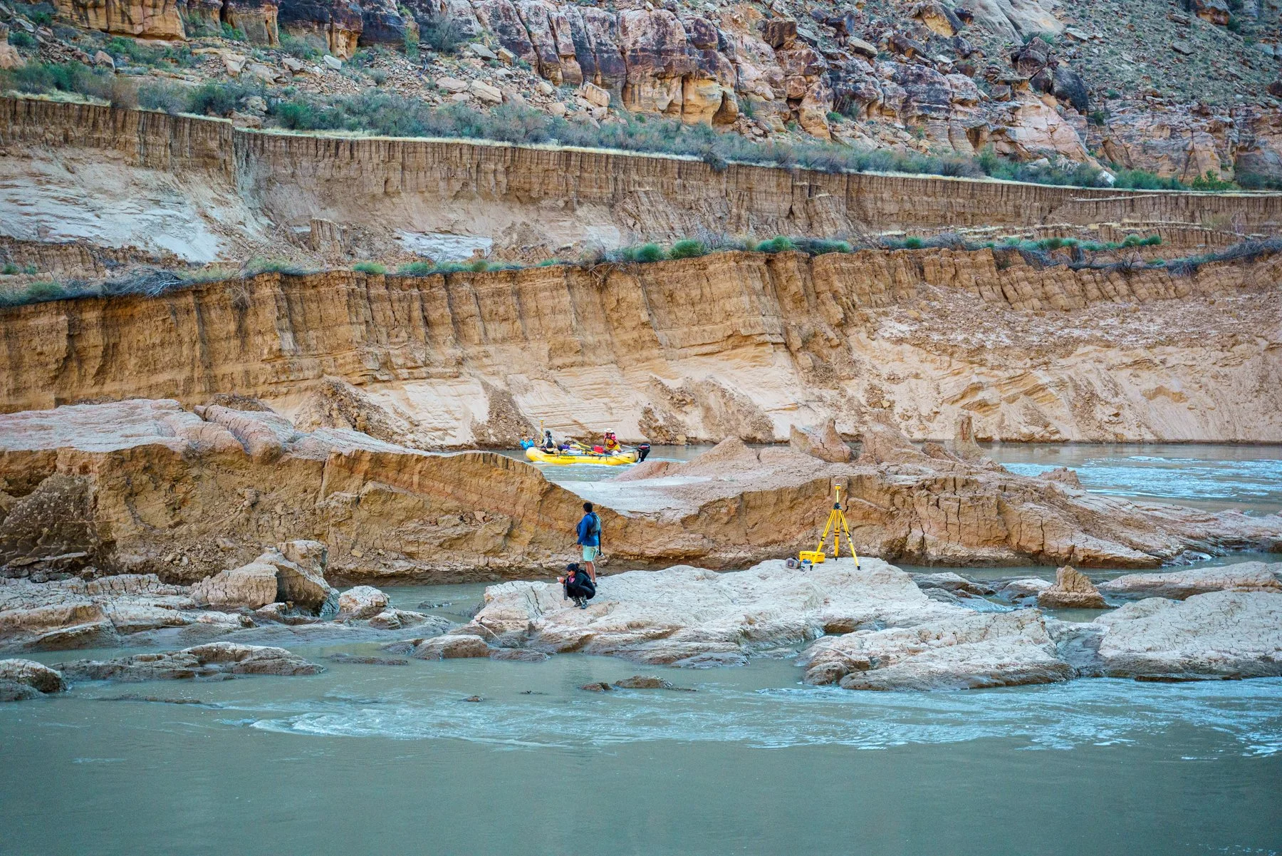
As the lake continues to drop, it is receding back toward the Glen Canyon Dam, exposing miles of once-inundated canyon to fresh air for the first time since Full Pool. But in its retreat, Lake Powell is leaving behind a memory of its presence in the form of lake-deposited sediment.
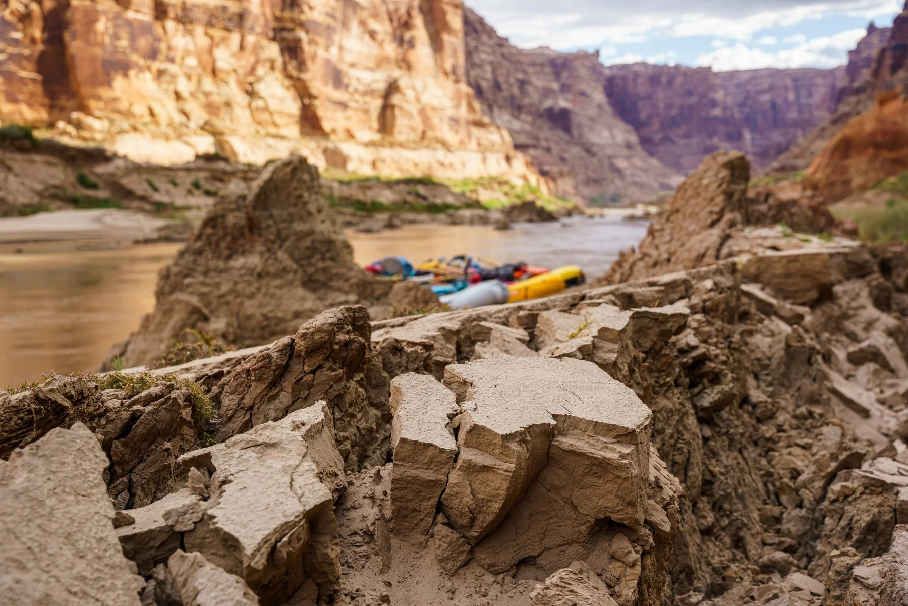
As the moving waters of the Colorado River encountered the stillness of Lake Powell, the decrease in energy resulted in massive amounts of sediment to drop to the bottom of the lake. This depositional formation, called the Dominy Formation, is an unstable sediment bank that forms along the current path of the Colorado River. Until the dam, the Colorado River acted as a massive sediment conveyor belt. Now, the dam acts as a cork, trapping the sediment and burying entire ecosystems, archaeological resources, and historical river channels.
As the late retreats, these massive conveyor belts are starting to fire up again! Since 2018, the Returning Rapids Project has been monitoring and documenting these changes. Through scientific studies, photo matches, and close observation of these once inundated areas, a clear story is emerging:
The Story of Recovery.
Dormant ecosystems are taking root, stagnant Dominy sediment is starting to move downriver, and the legendary rapids written about during Powell’s Expedition, and rafted during the final years of Glen Canyon, are starting to emerge!
As these changes progress, the Returning Rapids Project will continue bring together researchers, scientists, river runners, and journalists to study the changes and share the story of the Colorado and San Juan Rivers as they recover from Glen Canyon Dam.
We will continue to talk about and study sediment in the system - where it is and where it isn't - to highlight that reservoir impacts are greater and more complex than those caused by impounded water alone.
We will continue to highlight the history - geologic and cultural - of the areas affected by Lake Powell reservoir. We will use historic photos, books, and maps to help us understand what was there prior to the reservoir. We’ll record emerging resources so that decision makers will be more aware of what will be lost or damaged when reservoir levels fluctuate.
We will continue to publish scientific reports and make our data as accessible as possible. We encourage the sharing of ideas and project work and we seek to work with those who will be collaborative.
Together, we can help this landscape recover.