
Trip Reports

Fatt Falls on the Lowest San Juan. March 17, 2024. Photo by M. Flynn
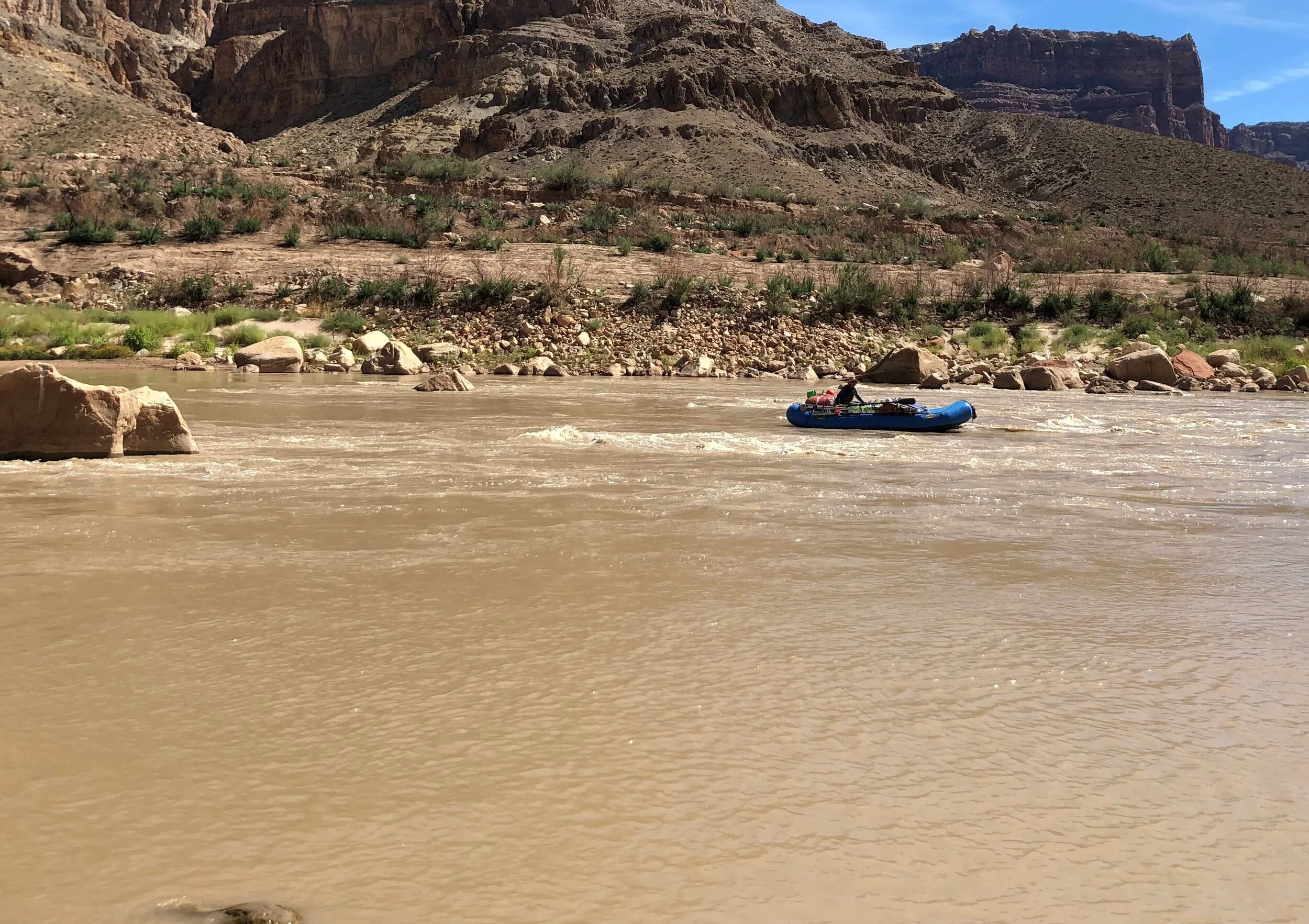
Spring 2024 Lowest San Juan Report
The Lowest San Juan is one of the most remote river stretches in Utah. The area is challenging to access due to declining reservoir levels, displaced river caused waterfalls, and a lack of modern information about the section. Take a look at what RRP has been learning as we explore the area.

Gypsum Canyon Rapid overview. October 10, 2023. Photo by Pete Lefebvre.
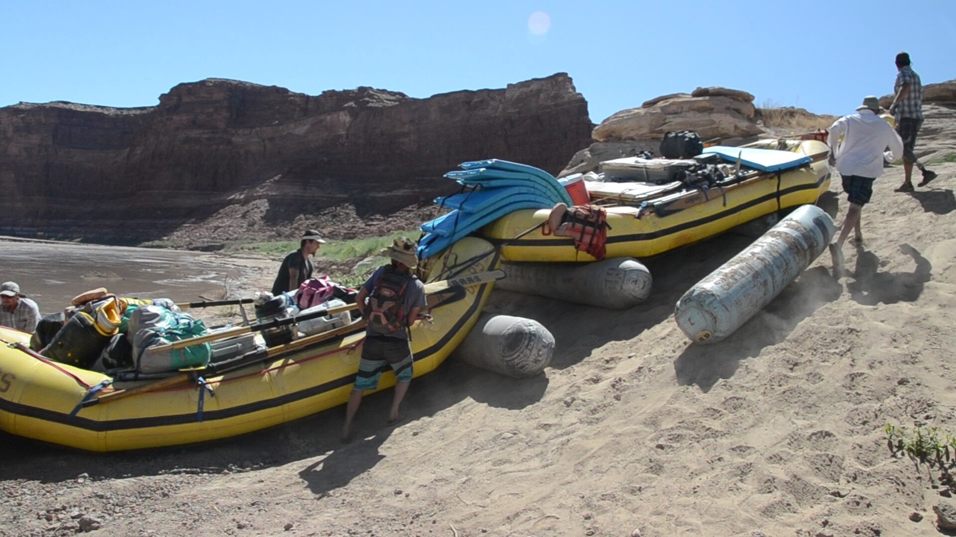
Fall 2023 Trips Report
Findings from RRP’s September and October 2023 Cataract trips.
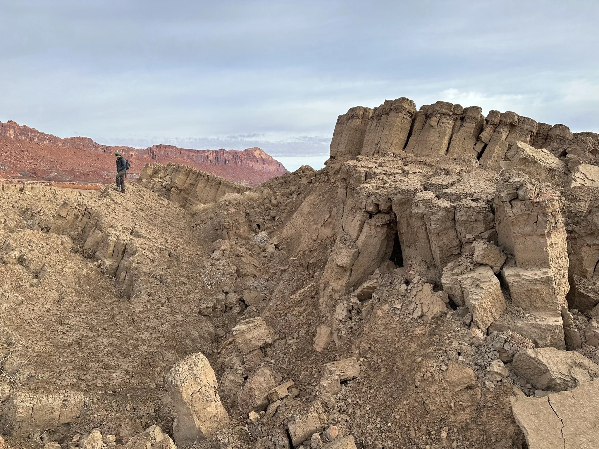
Hite area. March 13, 2023. Photo by M. Flynn
Studies Near Hite, Spring 2023
The perched river, a deteriorating boat ramp, and a wild sedimented wasteland
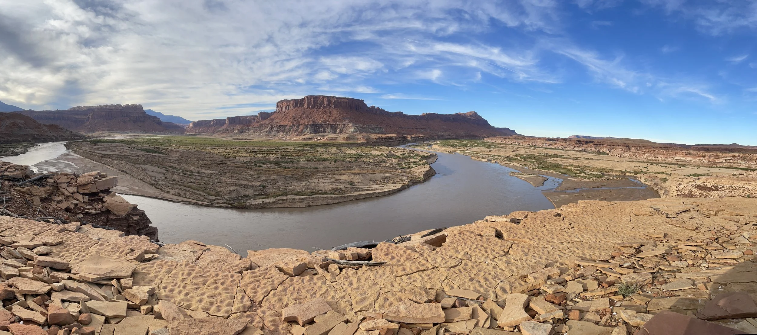
Panorama of White Canyon Area. October 20, 2022. Photo by M. Flynn
October 2022 Cataract Science Trip
Remarkable rates of change, a new treasure map, and mud volcanoes
San Juan River Scout Trip: Clay Hills to the San Juan & Colorado River Confluence, September 2022
Report provides some background information regarding the 58-mile stretch that is the San Juan River’s lowest part. The report also continues a record of field observations, historic photo matching, and documentation of change happening in a lesser known part of the San Juan River.
Gypsum Canyon and Dominy Bank. Photo by Francisco Kjolseth
October 2021 Science Trip
A diversely skilled team of scientists, river advocates, and river runners set out to gain a greater understanding of how the Colorado River is changing as it tries to regain a balance with its sediment load. In simplest terms, the 2021 fall science trip was a study of mud.
La Rue’s Riffle photo match 100 years later. Sept 21, 2021. Photo by M. Flynn
1921 USGS Survey through Cataract 100 years later
A re-creation of historic photos from the 1921 USGS survey through Cataract Canyon, 100 years later. Report also includes documentation of changes caused by heavy monsoons in summer 2021.

Moving across the river to lake transition zone. July 23, 2021.
Cataract and Across the delta, July 2021: Changes at the perched river & boat ramp comparisons
Observations from a trip through Cataract Canyon and across the river delta to a take out at Bullfrog. Report includes changes seen at the perched river and a comparison of North Wash & Bullfrog boat ramps.
Roller Tubing 18ft rafts at North Wash in 2013. Photo by Pete Lefebvre
A Cataract TAke out
For the past 17 years, there has been a “temporary” boat ramp at the location known as the North Wash Boat Ramp. This “low-reservoir level” boat ramp has always been an incredibly challenging access point for recreationalists. To help all the stakeholders understand the complexity of creating a safer and more permanent solution, the Returning Rapids Project research group compiled historical information, maps, and photos to help provide context for decision makers.

Working near benchmark above Gypsum October 21, 2020.
October 2020 Science Trip Report
In October 2020, a diverse group of scientists, river conservationists, and passionate river runners convened to pursue multiple scientific and historical curiosities in Cataract Canyon.