
Gypsum Canyon Rapid

Gyspum Canyon Riffle from above river right July 24, 2018, 3,900 cfs
Gypsum Canyon “Riffle” in 2018
During the low water of 2018, more disturbances began to show in the current as the river flowed over the historic location of Gypsum Canyon Rapid.
Based on the Les Jones Cataract Canyon Scroll map, the historic elevation at the top of this rapid was approximately 3615 feet above sea level.
When this picture was taken, the reservoir level at Glen Canyon Dam was 3605 feet above sea level.

Gypsum Canyon Riffle, 6,600 cfs, February 14, 2020
Changes from 2019-Early 2020
The extended runoff from 2019 raised the reservoir level to 3622 feet above sea level. That was a few feet above the historic elevation of Gypsum Canyon Rapid.
We guessed that the 2019 high water may have further scoured out Gypsum Canyon Rapid. When the reservoir dropped and we had a chance to see it in February 2020, it had definitely changed.
The reservoir level at the Dam in this picture was 3604 feet above sea level.
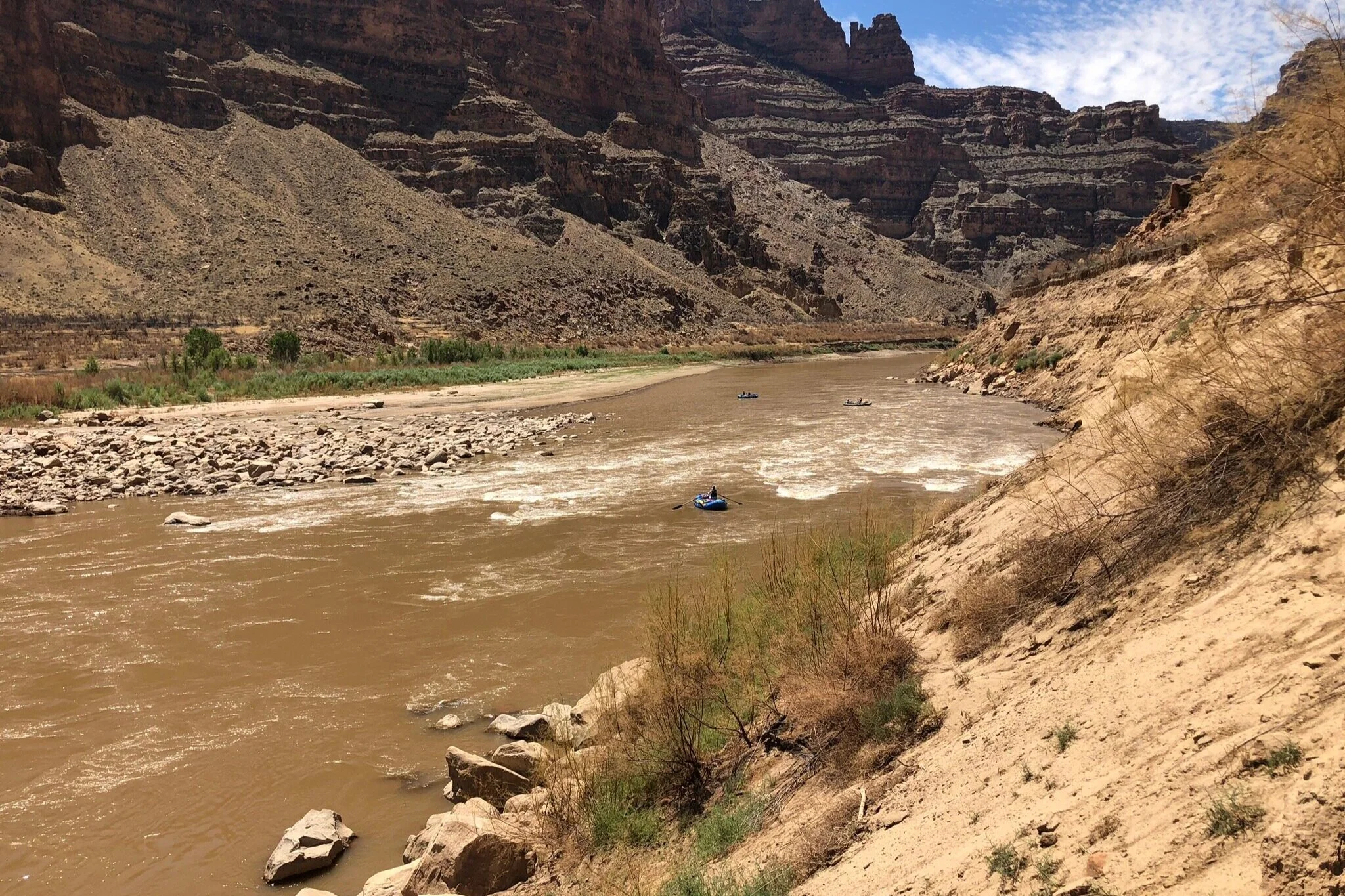
Raft in Gypsum Canyon Riffle/Rapid, July 26, 2020, approx 4,400 cfs
A lurking Rapid
The high water of 2020 wasn’t notable. It didn’t raise the reservoir much, but it did feel like 2-3 feet of sediment was moved out.
Once the river was low enough, Gypsum started to show that it was gaining some teeth.
Rocks were emerging on the river right side of the current.
The rock piles near the bottom of the “riffle” had been carved out of the lake sediments more.

A mid-riffle view upstream, July 26, 2020, 4400 cfs

Gypsum Canyon Rapid Location July 26, 2020, approx 4,400 cfs