
glen canyon
Glen Canyon begins around North Wash, and ends just upstream of Lee’s Ferry. Currently, Glen Canyon is submerged by Lake Powell.
As the surface elevation of Lake Powell Falls, the Colorado River is starting to flow once again through Glen Canyon. The Returning Rapids Project is focused on monitoring this dynamic area, collecting data to suggest that the river is recovering faster than previously predicted.
Returning Rapids studies many features newly exposed within glen canyon
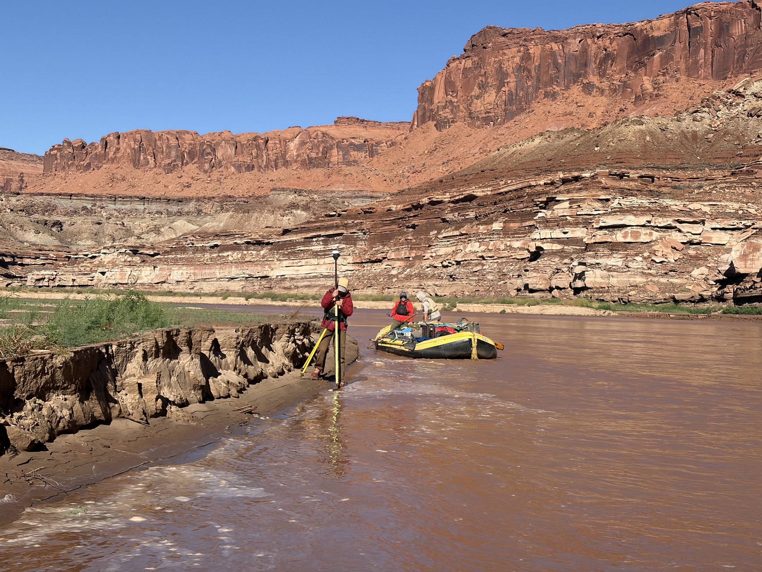
the moving delta
When the Colorado River hit Lake Powell, it slowed down dramatically and dropped its sediment load. This resulted in a reservoir-caused “delta” trapping the sediments, and the nutrients they carry, and burying Glen and Cataract Canyon.
We have been monitoring this delta as it migrates along a changing elevation of Lake Powell.
Flooding Glen, Narrow, and Cataract Canyons with water to make Lake Powell was highly controversial. There is another, quieter, issue creeping into these canyons - the mud and silt piled up, preventing ecological recovery.

Mapping the changes
The 49 mile stretch from The Dirty Devil and Colorado River confluence to Bullfrog Marina is very dynamic. Conditions are constantly changing due to reservoir levels and the river’s sediment delta pushing into the reservoir.
Due to continued deterioration of the North Wash Boat Ramp just downstream of the Dirty Devil River, it is more likely that Cataract Canyon river parties may choose to end their trip at Bullfrog.
No two trips through the Colorado River and Lake Powell are the same! The RRP team will continue documenting changes and providing map supplements.
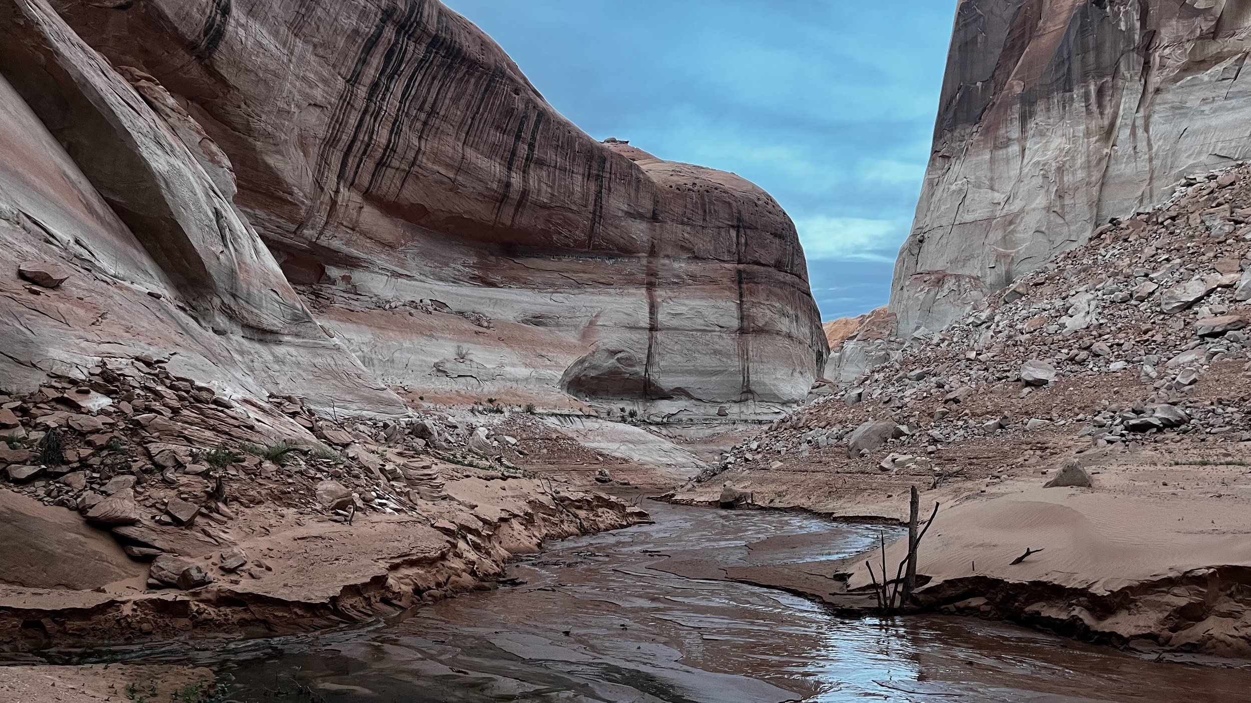
Lake powell
On March 13, 1963, L.F. Wylie pulled the lever to close the Glen Canyon Dam’s hydraulic gates, stopping the Colorado River in its tracks.
The area behind the dam began filling up, with Lake Powell reaching full capacity after 27 years.
Currently, Lake Powell is dropping, rapidly approaching a level where the dam’s hydroelectric turbines will no longer function.
When full, the reservoir inundated 186 miles of the Colorado River, 60 miles of the San Juan River, 24 miles of the Escalante River, and an unknown number of side canyons, archaeological sites, and ecological communities.
Glen Canyon trip reports and studies
-
![]()
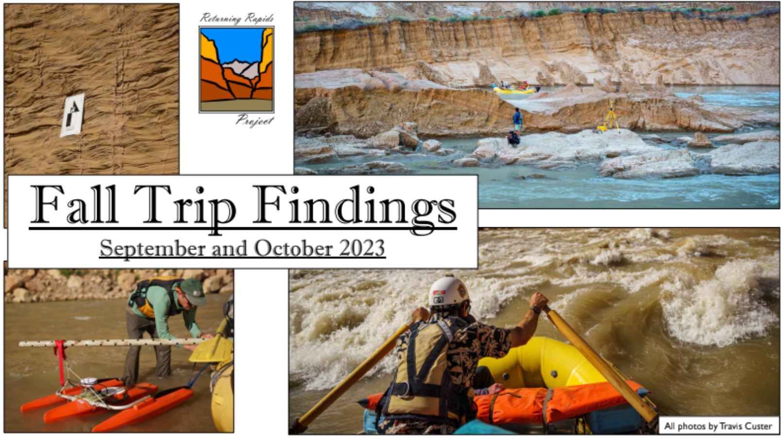
Fall 2023: Trip Report
A high runoff year scoured the river at an unprecedented rate, causing the area’s largest single sediment slumping event ever recorded.
-
![]()
October 2021: Fall Science Trip
A study of Mud.
In October 2021, a diversely skilled team of scientists, river advocates, and river runners set out to understand how the river is trying to regain balance with its sediment load.
-
![]()
September 2021: USGS Survey, 100 years later
Repeat photography, establishing survey points, and documenting changes after a large monsoon season.
-
![]()
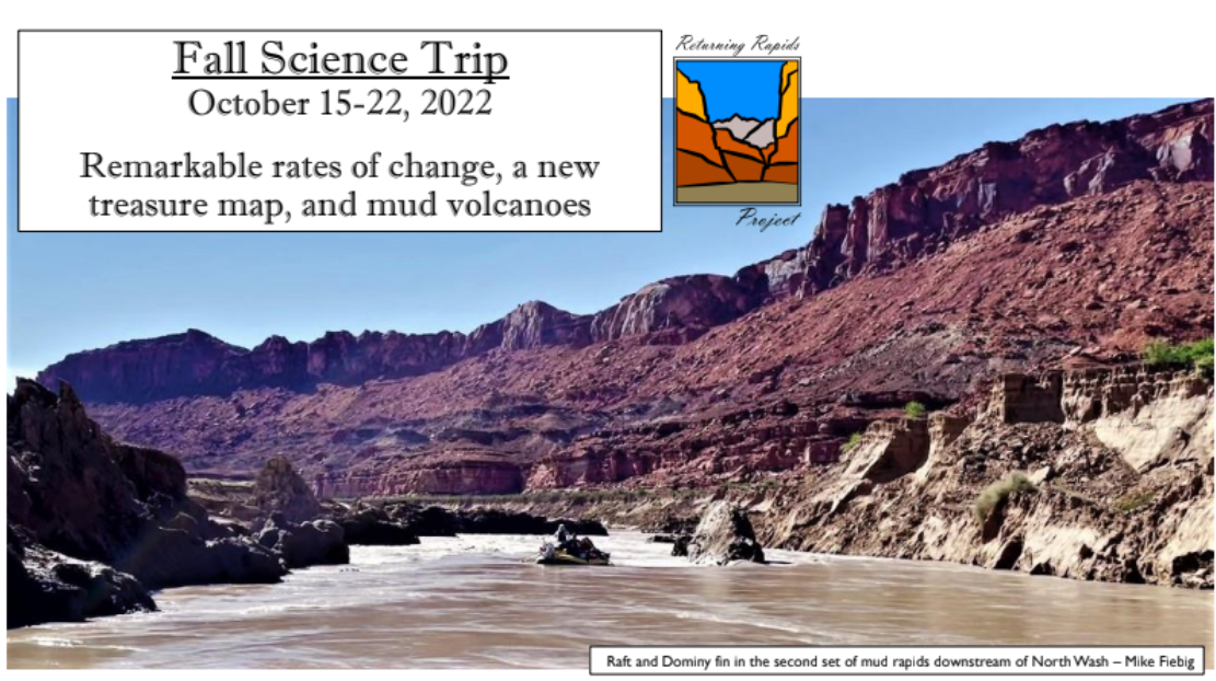
October 2022: Fall Science Trip
The monsoons of August and September 2022 caused a great deal of change from Rapid 12 through Big Drop 1.
-
![]()
July 2021: Cataract and across the delta
A photographic study of changes at the perched river and boat ramp comparisons.
-
![]()
October 2020: Fall Science Trip
Description goes A wide array of perspectives and disciplines came together to take a trip through Cataract Canyon and examine the changes taking place here.
-
![]()
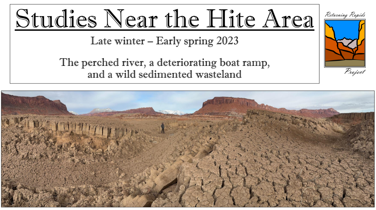
Studies near the Hite area: Spring 2023
A closer look at the perched river, a deteriorating boat ramp, and a wild sediment wasteland surrounding North Wash and Hite areas of Lake Powell.
-
![]()
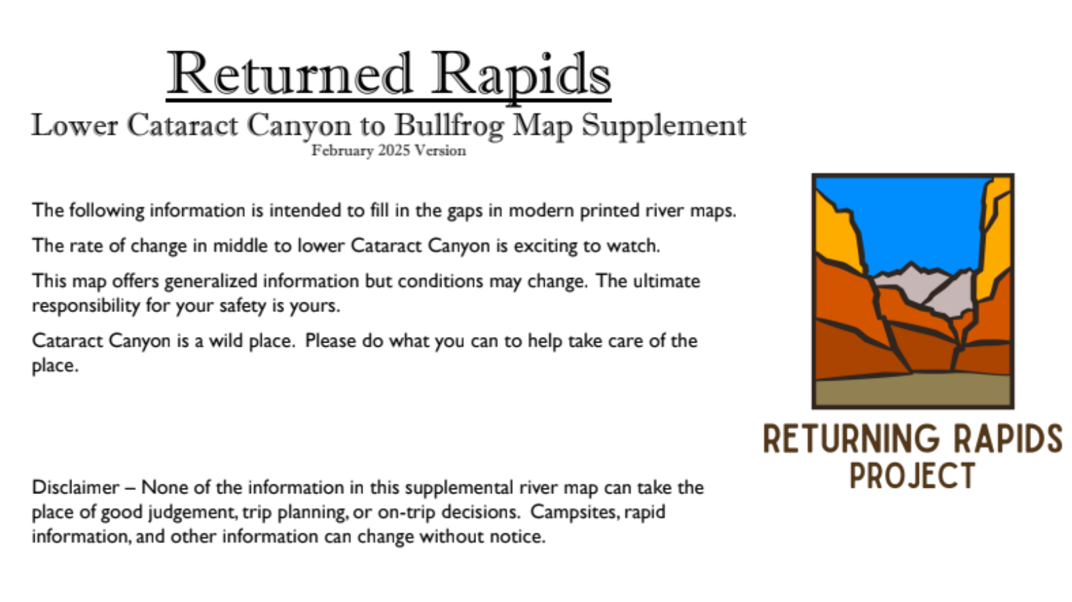
Map supplement: lower cat to bullfrog
The following information is intended to fill in the gaps in modern printed river maps.
This map offers generalized information but conditions may change.
-
![]()
The Moving Delta
A closer look at the movement of the river delta at Hite Marina
-
![]()
The Glen Canyon Dam
A deeper dive into the engineering project that created Lake Powell.


Our research is supported by individual donors who believe in the importance of monitoring and publishing river based science on these rapidly changing areas.